Written Cherokee history of the area begins in 1540, but it wasn’t until the18th century that settlers began to venture into the mountains of western North Carolina in more measurable numbers. The early 1700s saw a few adventurous trappers and hunters making their way into the area, and the ensuing battles between these settlers and the Natives eventually led to the Trail of Tears. After the Natives had been relocated and their land became available, more settlers took the chance of seeking out an existence on the rocky tops of the Appalachians. Part of the Dragon was cleared into a rudimentary road to the Cades Cove Settlement following Parsons Branch in the early 1800s. During the late 1800s, there was a greater influx of settlers, and Graham County was carved out of Cherokee County in 1872.
In 1910, the Aluminum Company of America began the arduous task of surveying the land in Blount and Graham counties for the integrated development of the water resources the Little Tennessee River had to offer. On the NC side of the mountains in 1916, construction on the Cheoah Dam and powerhouse began. It was then taken over in 1919 by the Tallassee Power Company and in turn by its successor in 1955, Tapoco, Inc. The latter company was derived from the first two letters of each word of the former companies. With the birth of the public works that the new dams and their power brought to the area, construction of new roads and highways began in earnest. It was not until 1931; however, that Tapoco could be reached from TN by auto via the present day US 129 crossing into North Carolina at Deals Gap. Until that point, the choices were train or rail bus; and during the final stages of construction, the only access was by boat.
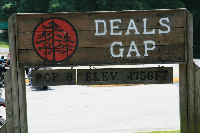
US 129 is an interesting road, even to those that do not ride motorcycles. It closely follows an old Indian trail that wound through Graham County before climbing the Smoky Range and crossing into TN at Deals Gap, where it continues along the ridges before emerging at Calderwood, and finally on to Fort Loudon. The opening of US 129 brought the benefits of tourist trade, which increased yearly with the public’s discovery of the natural beauty that lay nestled in those mountains so difficult to reach previously. Much of this area is still devoted to national parks, such as the Great Smoky Mountains National Park, the Nantahala National Forest, and the Joyce Kilmer Memorial Forest.
Picture by Terry.
next image |
|
|
|